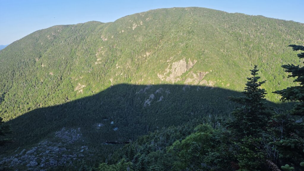
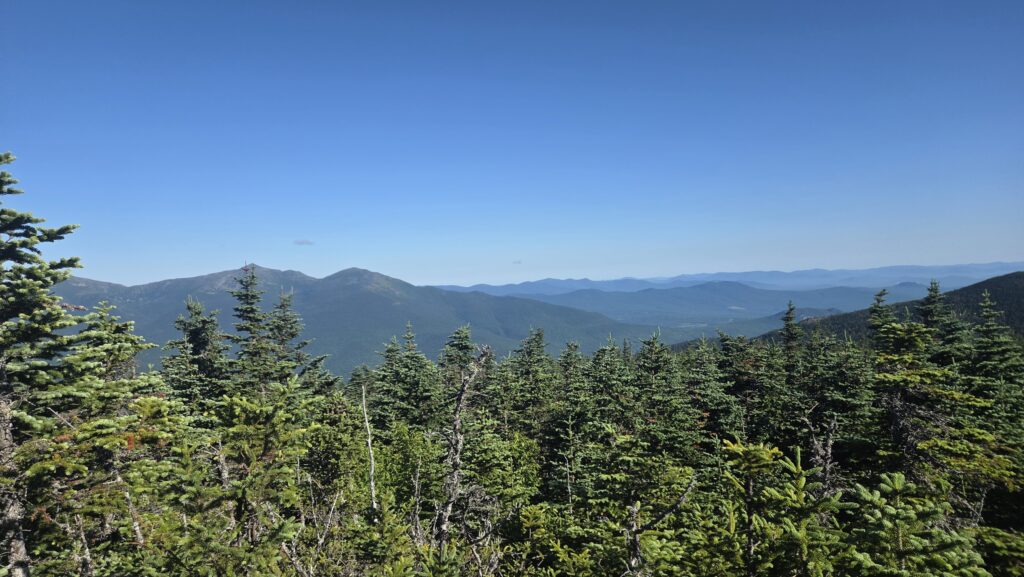
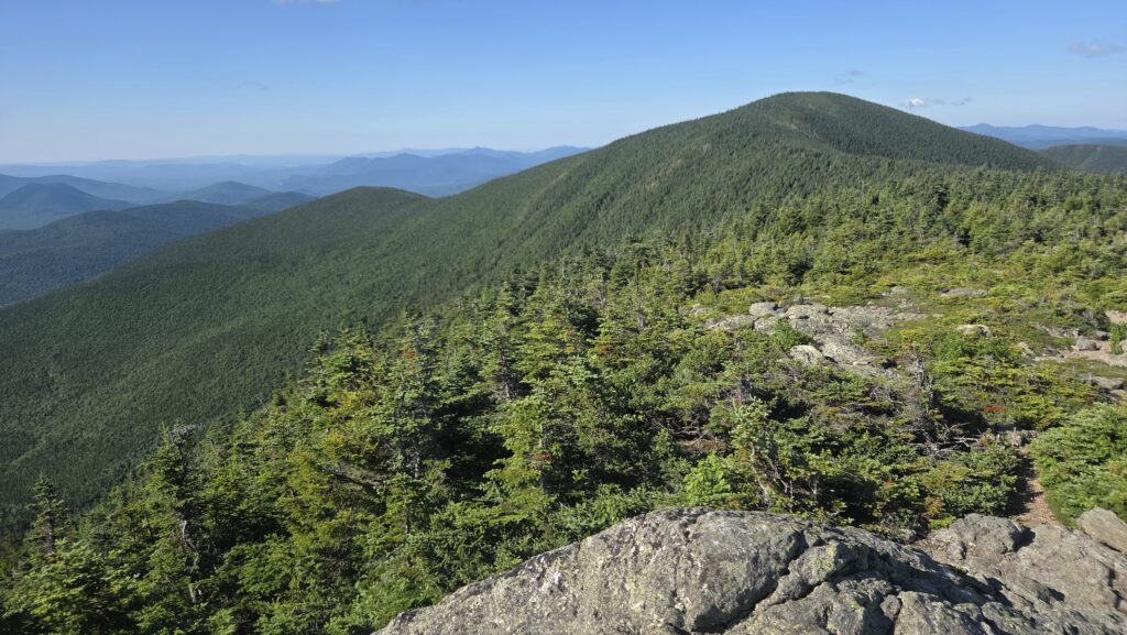
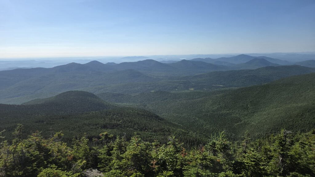
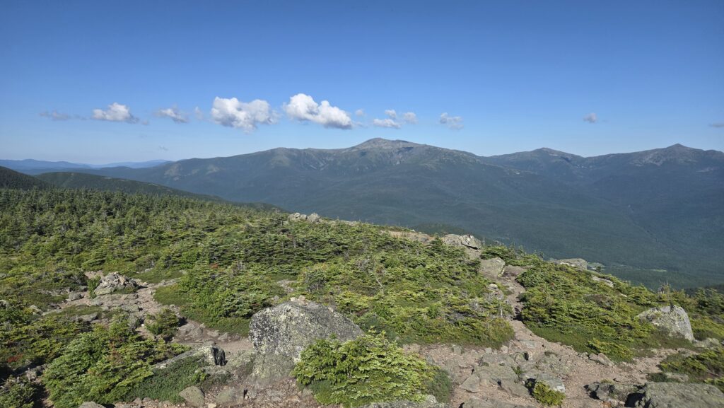
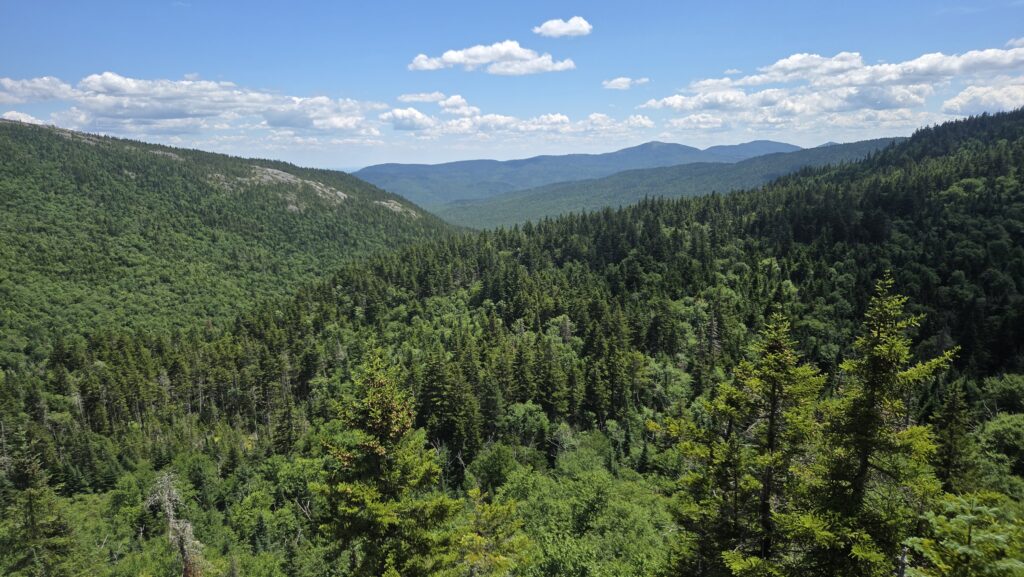
The exterminator greeted me as I headed out of the hut at 6:06. The start of the day was a serious climb up Carter Mountain. (Not sure if it’s named after Jimmy or someone else, but Carter Notch hut was built about a century ago). It wasn’t as bad as some of the endless boulder scrambling but it certainly took quite a while to get to the peak, and that particular peak had zero view (unless I missed a side trail to one).
After that, the trail did a lot of following ridges, with an occasional dip and climb to keep me sweating. The weather was marvelous, small cumulus clouds and hot on the sun but not unbearable in the cover of the forest. Every half hour it seemed there was another stunning view.
I caught up to the Scouts group from last night as they ate lunch. They had found places to pitch their tents on Carter Dome. I went ahead of them and a few minutes later they caught up to me as I stopped for my lunch. One of them gave me a ripe nectarine, as they were all full. It was delicious.
I ran into a SOBO hiker and we chatted for a bit, but I’ve already forgotten her trail name. The trail along the ridges went through many boggy areas, for which the trail crews had laid down thick sections of log crosswise then nailed two planks between each pair of logs, so the trail was easy walking because the boards smoothed out all the bumps and rocks and roots.
After lunch I ran into two day hikers at a trail cutoff, who told me I needed to turn left instead of going straight if I wanted to stay on the AT. But both the sign and my map suggested otherwise. I took what the map and sign suggested, but rather than continue for a mile or more before realizing I might be on the wrong trail, I checked FarOut as soon as I’d walked five minutes. Turns out the two women were right. I think the confusion stems from the trail having been rerouted. Google Maps said I was on the AT, but not FarOut. Anyhow when I caught up to the two I thanked them for warning me.
The trail became more gently sloped and earthen towards the end of the day as it followed Rattle River. I had to cross the river twice. At the second crossing I stopped to filter water, and noticed that I had lost my 1.5 liter bottle, taking me down from 3.5 to only 2 liters capacity. This was a bit upsetting but I pressed on to the campsite. I set up camp, cooked dinner, then headed back up trail to look for the bottle. At the upstream crossing the two women were resting. I asked if they had noticed a water bottle lying on the trail. They had, and had picked it up. I was quite happy to be reunited with it.
There is one hiker other than me at the campsite. SOBO Yard Sale is her name. She’s doing a section hike through Maine and New Hampshire. She got the trail name Yard Sale because she keeps putting stuff out on ropes or branches around her tent to dry, then forgetting it and only realizing it’s missing when she stops for the day. She added SOBO to her trail name so that if she introduces herself to someone as SOBO Yard Sale but she has accidentally gotten herself turned around and is headed north, the other person will hopefully ask why she has SOBO in her name if she’s going north. Sadly, she only came out of her tent briefly to tell me the above details, then went back inside. So no company for most of the evening.
I really enjoyed the hiking today in spite of the climbing. It felt more like the trail further south, not quite as grueling and technical as in the past week. I taped my bad shin to address the tendinitis and that really helped. The only problem with that is that when I took the tape off tonight I had a blister under it on the bottom of my foot, and I’m not sure I can get that little section of tape off. Once inside my tent I’ll give it a try.
I’m currently 300.7 miles from the end!
Mile 1874.1 to 1897.2 = 13.1 miles